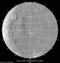
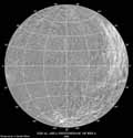
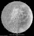
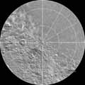
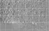
These Rhea equal-area mosaics were created by A. Tayfun Oner from Voyager 1 images of Rhea. They are all in Lambert Azimuthal Equal-Area Projection.
Click on the map below to obtain a high-resolution image of that region.
|
|---|
The Rhea Map Quadrangles
These Rhea map quadrangles were created by A. Tayfun Oner from Voyager 1 images of Rhea. The polar maps are in the polar stereographic projection. The images from -21 to -66 degrees latitude and from 21 to 66 degrees latitude are in the Lambert Conformal Conic Projection. The regions from +22 to -22 degrees latitude are rendered in the Mercator Projection.
The second row of map quadrangles covers the latitudes from 21 to 66 degrees. The third row covers the latitudes from -22 to 22 degrees. The fourth row covers -66 to -21 degrees and the polar maps cover +-65 to +-90 degrees latitude.
Click on the map below to obtain a high-resolution image quadrangle of that region.
|
|---|

